When a multi-million-cubic-meter wall of mud, rock, and glacial debris tears down a Himalayan valley, it does not leave minutes for evacuation. It leaves seconds. The catastrophic flash floods that recently devastated settlements near the Nepal-Tibet border, killing over 150 people and leaving hundreds missing, exposed the terrifying speed at which high-altitude tectonic zones can unravel. While viral clips of workers fleeing rising torrents or accounts of laborers clinging to mango trees capture the raw human terror of these disasters, they represent only the final, chaotic symptom of a much larger, systemic geological crisis unfolding across South Asia's roof.
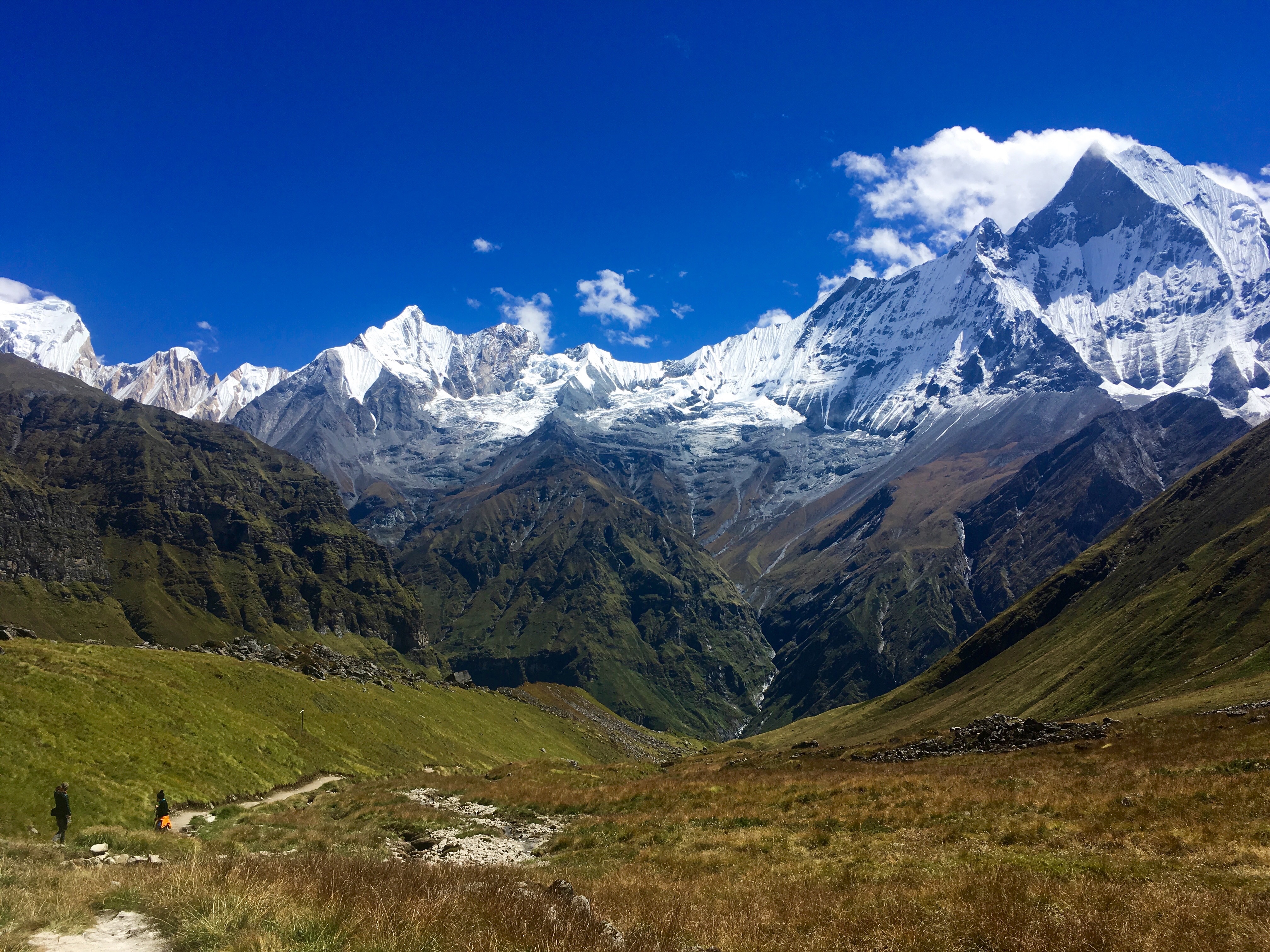
Understanding these disasters requires looking past the immediate spectacle of rushing water and examining the fragile mechanics of the Himalayan terrain. Geological instability in this region is not an anomaly; it is a permanent condition driven by the unrelenting northward collision of the Indian tectonic plate against the Eurasian plate. Every year, millions of tons of earth are pushed upward, creating steep, unstable slopes that are perpetually vulnerable to gravitational collapse. When external triggers—such as high-altitude seismic shifts or localized weather anomalies—strike these fragile slopes, entire mountainsides liquefy into destructive debris flows. Meanwhile, you can read related events here: Inside the Global US Visa Freeze That Stalled Thousands of Lives.
The Anatomy of a High-Altitude Surge
The mechanics of a Himalayan flash flood differ fundamentally from standard riverine flooding caused by prolonged seasonal rains. These events frequently originate as sudden rock-ice avalanches or barrier-lake outbursts high in remote border regions. When a massive volume of material crashes into a narrow gorge, it forms a temporary natural dam. Millions of cubic meters of water back up behind this unstable barrier until the pressure reaches a critical threshold.
When the makeshift dam inevitably ruptures, the accumulated water, mud, and boulders transform into a hyper-concentrated debris flow. This mixture possesses a density far greater than normal water, turning the flood into a moving wall of concrete-like slurry. To explore the full picture, we recommend the excellent analysis by USA Today.
- Initial Trigger: A high-altitude seismic event or slope failure destabilizes millions of tons of rock and glacial ice.
- The Impoundment: Debris blocks a narrow mountain river, creating an unmonitored temporary lake.
- The Catastrophic Breach: Water pressure overwhelms the earthen barrier, sending a surging wall of slurry downstream at vehicular speeds.
- The Impact Zone: Settlements situated along narrow river valleys are engulfed before automated warning systems can register the drop in upstream water levels.
Because these valleys are narrow and steep, travel times for the resulting floodwaves are measured in minutes. Communities downstream often receive no advance warning beyond a faint, low-frequency hissing sound—the acoustic signature of millions of tons of grinding rock tearing down a riverbed.
Infrastructure in the Crosshairs
The economic and human toll of these disasters is amplified by a desperate shortage of safe, flat land in a predominantly mountainous nation. Nepal's population centers, roads, and vital hydropower projects are routinely concentrated along river corridors. These valleys offer the only viable routes for infrastructure development, yet they simultaneously function as the primary drainage paths for the planet's most active mountain range.
Hydropower dams, built to secure clean energy for the region, face an existential threat from these sudden sediment surges. A facility caught in the path of a debris flow is not merely flooded; it is mechanically dismantled by boulders the size of houses moving at terminal velocity. Rebuilding these networks without fundamentally shifting regional zoning policies guarantees repeated catastrophes. Hard questions regarding the placement of critical infrastructure in active geo-hazard zones remain largely unaddressed by regional planners prioritizing immediate economic growth over long-term risk mitigation.
The Blind Spots of Early Warning
In an era of advanced satellite monitoring and real-time seismic sensors, the scale of surprise surrounding these events points to deep institutional gaps. While international research bodies like the German Research Centre for Geosciences can correlate minor seismic tremors with slope failures after the fact, localized telemetry along remote Himalayan borders remains sparse. Trans-boundary data sharing between nations sharing these river basins is frequently delayed by bureaucratic friction and diplomatic hesitation.
When a disaster originates miles high in disputed or remote frontier zones, downstream communities are left entirely unprotected. Automated river gauges can record a sudden drop in flow or a spike in turbidity, but if those data streams do not feed into an active, 24-hour siren network linked directly to local mobile phones, the technology is worthless. Survivors frequently owe their lives not to state-of-the-art warning infrastructure, but to sheer luck, sharp instincts, and the presence of sturdy vegetation.
The physical isolation of rural work camps compounds the danger. Construction laborers working on remote riverbank projects are often housed in temporary shelters directly within high-risk flood channels. Standard occupational safety regulations rarely account for catastrophic upstream mountain failures, leaving workers exposed to hazards they have no training to anticipate.
As global temperature shifts alter high-altitude permafrost and destabilize glacial moraines across the Himalayas, the frequency of these high-energy slope failures is projected to increase. Treating each catastrophic flood as an isolated act of God ignores the predictable physics of an over-stressed landscape. Until regional development strategies incorporate rigorous geomorphic mapping and zero-tolerance zoning for river corridors, valleys will continue to empty violently into the plains below.