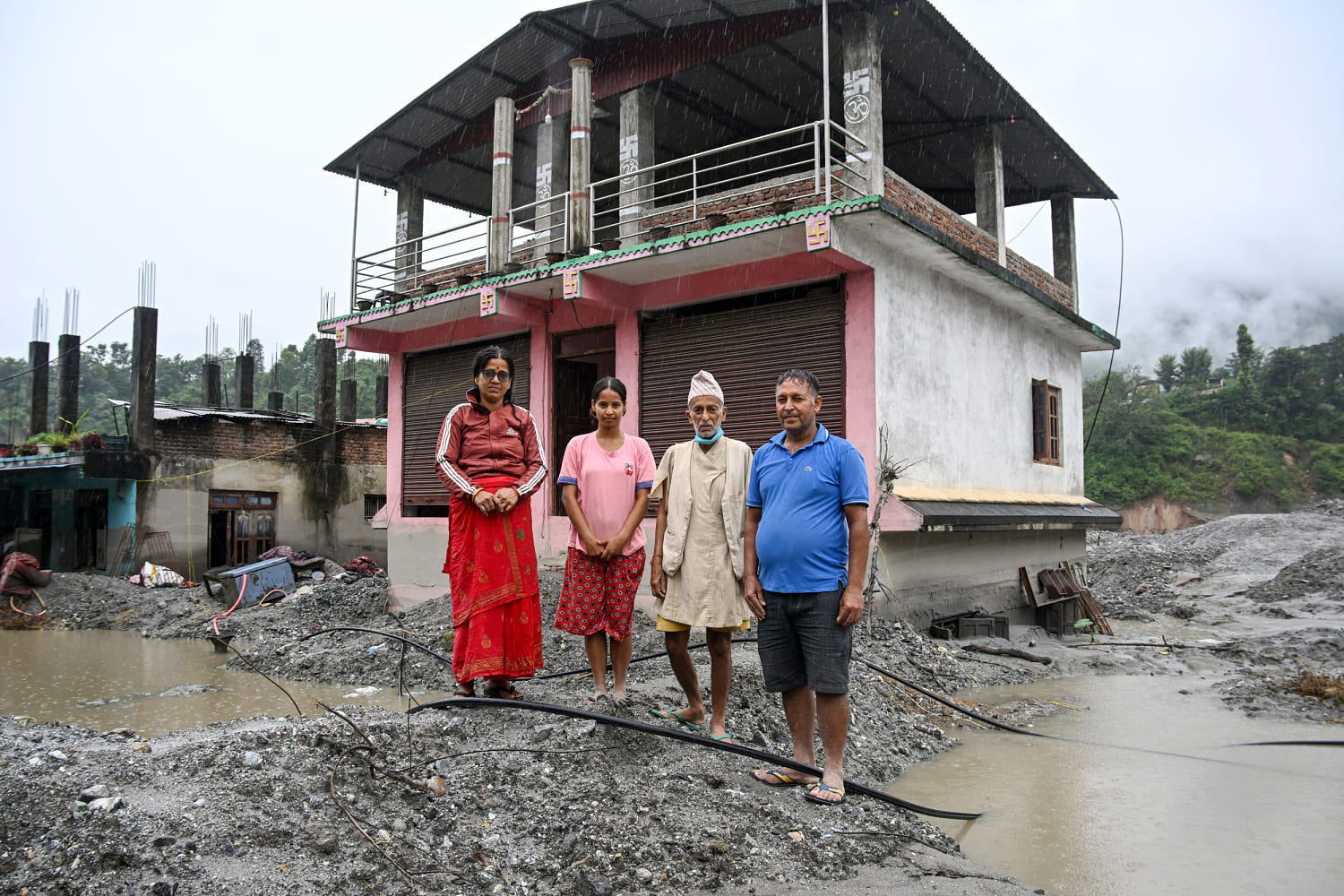
Climate change in high-altitude environments alters geomorphic stability, shifting risk from isolated glacial lake outburst floods to complex mass movement cascades that threaten nearly 300,000 residents across Nepal. Understanding this hazard requires moving past generalized warnings to examine the physical mechanisms governing high-mountain hydrodynamics, sediment bulking, and exposure mapping.
The Exposure Vector and Population Distribution
Quantifying population vulnerability in steep, narrow Himalayan valleys demands high-resolution spatial mapping. Recent studies tracking permafrost degradation and glacial recession indicate that approximately 290,000 people reside directly within high-hazard flood zones.
The geography of human settlement compounds this exposure. Historically, agrarian practices in Nepal favored an elevation-based division of labor: permanent settlements and housing occupied higher slopes, while intensive agriculture utilized fertile flatlands adjacent to river corridors. Over recent decades, demographic shifts, infrastructure expansion, and ribbon development have concentrated commercial assets, roads, and residential structures closer to riverbanks.
When high-velocity hydrologic events occur in narrow gorges, proximity to the channel dictates survival probability. Traditional settlement patterns offered natural elevation buffers that modern economic pressures have systematically eroded.
The Mechanics of Mountain Hazards
Standard risk frameworks frequently conflate distinct physical triggers. A comprehensive breakdown reveals three primary failure modes in the Hindu Kush Himalaya:
- Moraine-Dam Failures: The accumulation of unconsolidated glacial debris forming unstable barriers that impound meltwater. When hydrostatic pressure or seismic activity breaches the moraine, high-volume discharges sweep downstream.
- Supraglacial and Ice-Contact Lakes: Ponds accumulating on or adjacent to glaciers that drain catastrophically through internal ice conduits as floating ice fractures.
- Rock and Ice Avalanches: Catastrophic detachment of hanging glaciers or high-altitude bedrock cliffs that plunge onto debris slopes below, bypassing intermediate lake storage entirely.
Recent catastrophic events demonstrate that disasters can unfold without an intermediate lake burst. Instead, the sequence initiates with mechanical failure at high elevations—often driven by permafrost thawing—where millions of tons of rock and ice detach from steep faces.
Energy Conversion and Sediment Bulking
The destructive capacity of a mountain flood is a function of potential energy conversion. When a massive rock and ice mass drops thousands of meters, gravitational potential energy transforms into kinetic energy and thermal energy. The resulting friction generates localized meltwater while violently mobilizing loose moraine, sediment, and historical debris deposits already present in the valley floor.
This process, known as sediment bulking, alters the rheology of the flood. Clear water transforms into a hyperconcentrated flow or debris flow with the density of wet concrete. As the surge propagates down narrow gorges, it scours riverbeds and banks, entraining additional material and exponentially increasing its mass and destructive momentum. Hydraulic models designed for clear-water routing consistently underestimate the peak discharge and impact pressures of these debris-laden surges.
The Warning Time Deficit and Infrastructure Vulnerability
Early warning systems in high-altitude river basins face strict physical limits. Monitoring stations situated near international borders or downstream reaches capture flood fronts with minimal lead time. In steep topography where flow velocities can reach extreme magnitudes, downstream communities and critical infrastructure—such as hydropower installations, bridges, and transmission lines—receive warnings measured in minutes rather than hours.
Hydropower tunnels, settling basins, and powerhouse structures located within narrow river corridors are exceptionally vulnerable. Heavy sediment loads choke infrastructure, fill diversion tunnels with thousands of tons of mud, and render regional energy grids unstable. The physical destruction of these assets imposes long-term economic friction on developing mountain economies.
Strategic Adaptation and Spatial Reallocation
Mitigating high-altitude flood risks requires transitioning from reactive disaster response to predictive geomorphic management. Regional authorities must decouple hazard mitigation from the singular assumption of glacial lake outbursts, expanding monitoring networks to unstable hanging glaciers and permafrost degradation zones.
Spatial planning mandates strict zoning codes that prohibit permanent residential or industrial construction within high-energy runout zones. Where relocation is economically unfeasible, structural interventions must be paired with real-time acoustic and seismic sensors capable of detecting mass movements at the point of origin, maximizing the data transmission window for downstream populations before surge arrival.