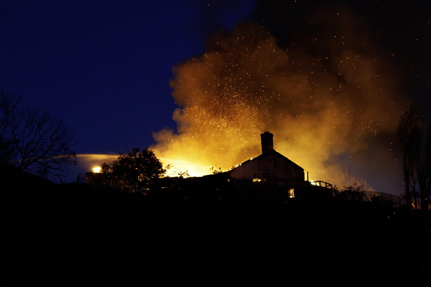
Five hundred and seventy acres burned in roughly a single afternoon. That number sounds small on a map compared to megafires across the West, yet the Norte fire in South Orange County tore straight into coastal neighborhoods, forced evacuation orders for around 6,000 homes and 16,000 residents, and left several homes damaged or destroyed.
Size doesn't decide who gets hurt in Southern California. Wind, steep slopes, and dry brush do. When offshore Santa Ana winds hit the hills around San Clemente and San Juan Capistrano on October 16, 2026, a brush spark near Portico Del Norte and Eminencia Del Norte exploded to 250 acres within an hour and reached 570 acres by evening.
People watching from the coast often assume ocean air keeps them safe. Honestly, that's a dangerous myth. Santa Ana winds push hot, dry air from the interior desert straight toward the Pacific, turning coastal canyons and hillside subdivisions into a funnel for wind-driven embers.
How the Norte fire moved through coastal hills
According to CAL FIRE and the Orange County Fire Authority, the blaze started shortly after 11:30 a.m. PT on Friday, October 16, 2026. Within minutes, ground and air crews were racing against gusty winds and warm autumn temperatures.
By mid-afternoon, officials reported homes impacted near Via La Mirada in San Juan Capistrano. Across the incident, officials reported six to seven homes damaged or destroyed, zero civilian deaths, and two firefighters injured while battling the blaze. Full containment wasn't reached until October 23, seven days after ignition, after crews worked hot spots and palm trees where windborne embers love to catch.
What struck me watching how fast this unfolded is the gap between "small acreage" and "high consequence." A 570-acre fire can still cross from wildland brush into residential streets faster than most people expect. If you wait until you smell smoke or see flames cresting a ridge, you're already behind the curve.
Why small acreage still carries huge risk in Orange County
Wildfire coverage usually spotlights massive backcountry burns. That skews how homeowners judge their own risk.
Data from Cotality following the Norte fire showed that across the ZIP codes covering San Clemente and San Juan Capistrano, roughly 4,690 homes carried a Wildfire Risk Score of 51 or higher on a 1-to-100 scale, representing about $4.5 billion in reconstruction cost value. Zoom out to all of Orange County, and roughly 73,000 homes scored 51 or higher—totaling about $61.7 billion in reconstruction cost value—with more than 15,000 homes scoring 81 or higher.
Read that again. Even coastal and suburban pockets of South Orange County hold billions of dollars in vulnerable structures.
- Topography accelerates flame front speed: Steep canyon walls and ridges preheat fuels above the fire, letting flames run uphill fast when winds align with the slope.
- Embers travel ahead of the main fire: You don't need direct flame contact for a house to ignite. Wind-driven embers can land in dry roof gutters, ornamental shrubs, or attic vents well ahead of the fire line.
- Regional wind events strain resources simultaneously: The Norte fire wasn't happening in isolation. That same Santa Ana wind event saw fires elsewhere in Southern California—such as the Bryson Fire in Malibu and the Henderson Fire on Camp Pendleton—alongside widespread utility public safety power shutoffs.
The big questions homeowners ask after a nearby fire
When evacuations hit San Clemente and San Juan Capistrano, the same practical questions pop up right away.
Was the cause officially confirmed?
Officials kept the ignition cause under investigation following containment, while early civil litigation alleged utility involvement. In fast-moving Southern California wildfires, official fire investigations often take weeks or months before a final cause report is published, so treat early claims or social media speculation with caution until investigators release findings.
Why did evacuation orders cover so many homes if fewer than ten burned?
Evacuation zones are drawn around wind direction, terrain, road bottlenecks, and worst-case spread over the next few hours—not just where flames are at that exact minute. When officials issue an order, leaving early keeps roads clear for fire engines and tankers and removes people before wind shifts trap a neighborhood.
Is it safe to head back into the burn scar once orders lift?
No. Even after evacuation orders are lifted for surrounding zones, authorities keep burn scars closed because of active hot spots, falling ash, unstable trees or slopes, and emergency equipment traffic. You can check official updates directly on the CAL FIRE Norte Fire incident page and through the Orange County Sheriff's Department.
Mistakes people make during wind-driven fire days
I've seen plenty of homeowners get tripped up by habits that feel logical on a normal day but backfire during a red-flag wind event.
One classic mistake is waiting for a knock on the door or an alert on your phone before packing. If you're in a high-risk zone and Santa Ana winds are howling, your go-bag should already be packed, medications and important documents gathered, and cars backed into the driveway facing the street.
Another mistake is treating ornamental palms and dry landscaping near the house as harmless because they're "just yard work." Embers lodge in shaggy palm skirts and dry mulch, creating spot fires right against siding and fencing. And if power shutoffs hit—which utilities use to reduce spark risk during high winds—garage doors without battery backups, electric gates, and cell service gaps can catch people off guard.
There's also a real debate among property owners and insurers about how wildfire risk scores reflect home hardening. Risk models weigh location, slope, fuel, and weather history heavily, though defensible space and ignition-resistant upgrades matter enormously on the ground. Still, no single home upgrade guarantees survival in extreme wind, which is why early evacuation remains non-negotiable.
Practical steps to take right now
If you live anywhere near South Orange County canyons or hillsides—or anywhere prone to Santa Ana winds—don't wait for next autumn's heatwave to get ready.
- Know your exact evacuation zone: Look up your address on the Orange County emergency map and bookmark official updates from CAL FIRE and the Orange County Fire Authority.
- Clear ember traps around your property: Trim dead branches, clear dry leaves from roofs and gutters, and keep combustible items away from walls, fences, and decks.
- Prep a grab-and-go kit and backup plan: Keep N95 or P100 masks, phone chargers, prescriptions, pet carriers, and key documents ready, and plan two exit routes in case freeway ramps or local roads close.
- Review your insurance and rebuild numbers: Check your dwelling coverage against current local reconstruction costs so you aren't caught short if partial or total loss ever happens.