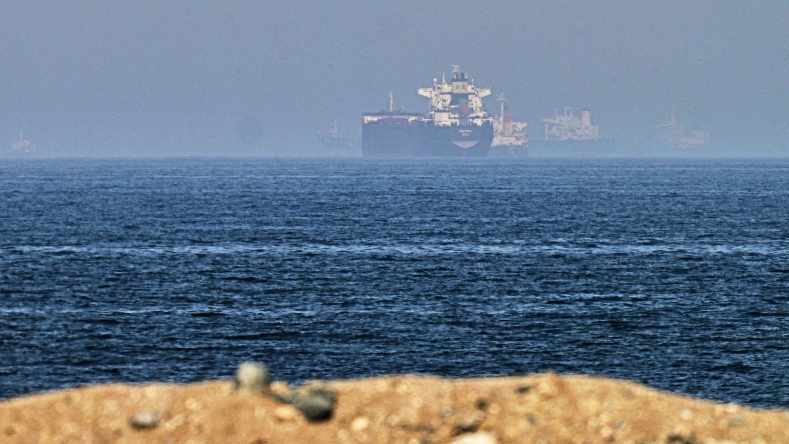
Every major shipping desk and foreign policy blog spent the last week hyperventilating over a simple diplomatic handshake. Iran and Oman supposedly reached an understanding on the exact coordinates of transit routes through the Strait of Hormuz. Headlines hailed it as a diplomatic breakthrough, a stabilization mechanism, a rare moment of maritime sanity in a volatile corridor carrying a massive chunk of global petroleum.
It is absolute theatre.
I have watched maritime insurers and logistics desks panic over every routine communique coming out of Muscat and Tehran for a decade. They read tea leaves where there are only empty cups. The lazy consensus says that drawing precise lines on a map inside a contested chokepoint creates safety, legal predictability, and de-escalation.
That theory collapses the second you look at how geography and military command structures actually operate under pressure.
Coordinates on a piece of paper do not stop a fast-attack craft from testing radar signatures at midnight. They do not rewrite the Islamic Revolutionary Guard Corps naval doctrine, which treats international waters as a contested home turf. Believing that a negotiated maritime lane creates a protected highway through the Strait of Hormuz is like drawing a bike lane across a live firing range and expecting everyone to yield.
The Legal Fiction of Transit Routes in Chokepoints
Let us get precise about what the Law of the Sea actually says versus what regional actors care about. Under the United Nations Convention on the Law of the Sea, states bordering straits used for international navigation are supposed to allow transit passage. Ships do not need permission. They move through straits under normal modes of continuous and expeditious transit.
Iran has never fully ratified UNCLOS. They signed it, but their parliament blocked it, meaning Tehran views foreign warships and commercial tankers through the lens of its own domestic security definitions and sovereignty claims, not universal maritime law.
When Oman and Iran sit down to negotiate specific coordinates, they are negotiating within Omani territorial waters or the overlapping boundaries defined by bilateral limits. But the narrowest, most critical shipping lanes of Hormuz sit squarely within Omani territorial waters on the southern side and Iranian waters on the northern side.
Here is the dirty secret that analysts keep ignoring: traffic separation schemes managed by the International Maritime Organization already exist there. Ships do not need a fresh bilateral understanding between Muscat and Tehran to know where to drive. Tankers follow rigid, monitored Traffic Separation Schemes that keep inbound and outbound behemoths from colliding.
So what was the actual point of this new agreement? It was a political exercise in framing. Tehran gets to project an image of a cooperative regional actor respecting bilateral neighborly diplomacy, while Oman gets to reinforce its traditional role as the Switzerland of the Gulf, mediating friction it cannot actually eliminate.
The Physical Reality of the Strait
To understand why this agreement is structurally irrelevant, you have to look at the physical geography of the corridor.
The Strait of Hormuz is roughly twenty-one miles wide at its narrowest point. The inbound and outbound shipping lanes are each about two miles wide, separated by a two-mile buffer zone. That leaves very little margin for error.
[Omani Territorial Waters] --- [Inbound Lane (2mi)] --- [Buffer (2mi)] --- [Outbound Lane (2mi)] --- [Iranian Territorial Waters]
When a Very Large Crude Carrier plows through that corridor, its maneuverability is near zero. It takes miles to stop or turn. Now, imagine a squadron of armed patrol boats belonging to a non-state actor or an unannounced naval militia cutting across the bow. No amount of pre-arranged coordinate agreements will alter the physics of a three-hundred-meter oil tanker trying to avoid a collision in a two-mile traffic lane.
During periods of high geopolitical tension, naval forces do not respect imaginary lines on a digital chart plotter. They respect power projection, electronic warfare dominance, and proximity to shore-based anti-ship missile batteries.
Iran's military strategy in the Gulf is asymmetric by design. They do not build blue-water aircraft carriers to fight fleets in the open ocean. They rely on swarming tactics, coastal cruise missiles, mine warfare, and electronic jamming. Their entire operational playbook is built on creating ambiguity, gray-zone friction, and psychological dominance over commercial traffic.
Why would Tehran tie its own hands with a rigid coordinate agreement when ambiguity is its greatest strategic weapon? They wouldn't. The moment it serves their interest to disrupt traffic or signal displeasure to Western sanctions, those coordinates become instantly meaningless.
The Insurer Trap and the Cost of Credulity
Markets hate uncertainty, but they love a clean narrative even more. The moment headlines broke about this Omani-Iranian understanding, risk premiums on marine hull and cargo insurance should have spiked out of sheer cynicism. Instead, brokers treated it as a soothing balm.
I have watched maritime risk firms burn millions of dollars reacting to diplomatic signals that carry zero enforcement mechanism.
Let us break down the actual components of maritime risk assessment in the Persian Gulf:
- Physical Interception: Boardings and seizures by armed forces don't happen because a ship strayed outside an agreed coordinate line; they happen because a government decided to use a vessel as a geopolitical hostage.
- GPS Spoofing and Electronic Warfare: Ships regularly experience phantom positioning alerts, where navigation systems show them drifting into Iranian waters when they are miles away in international channels. Coordinates mean nothing when your digital sensors are being lied to by shore-based electronic warfare units.
- Mines and Underwater Hazards: A floating or moored mine does not check a coordinate map before detonating.
When you rely on a piece of paper signed by diplomats to protect your fleet, you are outsourcing your risk management to people who have zero operational skin in the game.
What You Should Do Instead of Reading Headlines
If you manage supply chains, logistics, or energy investments that rely on Gulf transit, stop paying attention to bilateral diplomatic updates about transit coordinates. They are designed for domestic consumption and diplomatic brownie points, not maritime safety.
Instead, calibrate your operational posture around three hard realities:
First, assume zero-trust navigation. Your captains and security officers must operate under the assumption that electronic positioning data can be spoofed or jammed at any moment. Crew training must prioritize optical navigation verification and fallback positioning systems that do not rely solely on satellite signals vulnerable to regional interference.
Second, separate legal safety from tactical reality. Just because a transit route is legally recognized by international bodies or bilateral talks does not mean it is tactically secure. Treat the entire northern half of the Gulf as a high-threat operational zone, regardless of what lines are drawn on official maps.
Third, price the worst-case scenario directly into your charter parties and supply contracts. If your business model collapses because a tanker gets delayed by forty-eight hours due to a regional standoff, your supply chain was already broken before the ship ever pulled anchor.
The diplomats will keep drawing lines in the water. The warships will keep ignoring them. Stop buying the illusion.


