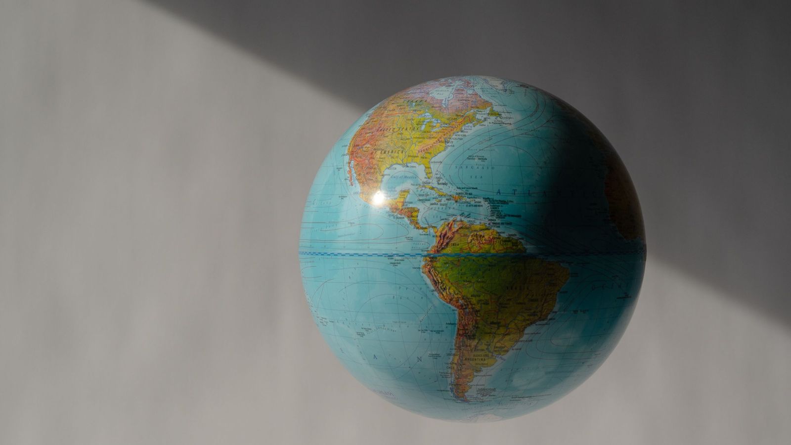
The United Nations General Assembly has officially voted to move away from the centuries-old Mercator map projection, choosing instead to endorse equal-area alternatives like the 2018 Equal Earth design. This decision addresses a distortion that has visually shrunk Africa and expanded northern landmasses since 1569. With 164 countries voting in favour, one against, and six abstentions, the non-binding resolution challenges how classrooms, media organizations, and technology companies visually represent the globe.
Maps are never neutral administrative tools. They are ideological documents disguised as science.
For nearly five centuries, the global standard for visualizing our planet has been the Mercator projection, crafted by Flemish geographer Gerardus Mercator. Its original purpose was strictly navigational. By stretching lines of latitude and longitude into straight grids, Mercator created a reliable coordinate system for sailors crossing treacherous oceans using magnetic compasses. It was an instrument for maritime transit, not an accurate portrait of planetary proportions.
The mathematical side effect of translating a three-dimensional globe onto a flat two-dimensional page is severe distortion. As landmasses move further away from the equator, they expand exponentially. Regions clustered near the equator compress, while areas in high latitudes swell.
Greenland appears roughly equal in size to the entire continent of Africa on a standard Mercator map. In reality, Africa is roughly fourteen times larger than Greenland. You could comfortably fit the United States, China, India, Japan, Mexico, and large portions of Europe inside African borders with room to spare. North America, Europe, and Russia visually dominate the planet, while equatorial landmasses contract into visually modest footprints.
For decades, geographers and historians have pointed out that this visual hierarchy seeped into human consciousness. Generations of students grew up viewing the Global North as sprawling empires and the Global South as minor appendages.
The recent UN resolution, spearheaded by Togo on behalf of the African Union, aims to correct this cognitive imbalance. Togolese Foreign Minister Robert Dussey framed the debate in stark terms before the vote. He argued that distorted maps quietly shape international perceptions, education systems, and geopolitical self-worth from early childhood onward.
Critics of the shift have dismissed the move as symbolic administrative theater. The United States, casting the lone dissenting vote, argued that the General Assembly was wasting time on sixteenth-century cartography while real-world crises demand urgent diplomatic attention. Opponents maintain that altering map projections does nothing to solve poverty, debt distress, or security challenges.
That counter-argument misses the point of visual psychology.
When international institutions, news outlets, and climate models rely on maps that shrink Africa and South America, policy prioritization follows suit. Resource allocation, emergency aid distribution, and investment flows are subconsciously influenced by physical scale. A map that reduces a continent of 1.4 billion people to a fraction of its true size subtly diminishes its perceived economic and demographic weight in global negotiations.
Adopting the Equal Earth projection does not fix every cartographic problem. Every flat map of a round world requires a compromise. Equal-area maps preserve true relative sizes, but they must distort shapes, angles, or distances to achieve that balance.
Implementation hurdles will also test the resolution's reach. Technology giants like Google and Apple control the digital cartography consumed by billions of daily users. Transitioning away from default web Mercator standards—which are optimized for seamless zooming and digital tile rendering rather than true area representation—requires massive software adjustments.
Sovereignty concerns also complicated the diplomatic maneuvering. Ukraine and several other nations abstained from the vote, warning that altering standard projections could introduce legal ambiguities over disputed territories if cartographers adopt boundary lines that conflict with recognized international borders. The European Union voted in favor of the measure while issuing a formal clarification that the resolution alters relative land sizes only and leaves existing legal borders untouched.
France broke ranks with traditional European hesitancy by announcing plans to phase out the Mercator projection in its national educational materials. Other member states face mounting domestic pressure to follow suit. Textbooks printed next year will look fundamentally different in capitals that choose to adopt the recommendation.
The vote marks a rare instance where developing nations successfully challenged a deeply entrenched Eurocentric standard embedded in global infrastructure. The friction at the UN headquarters revealed how deeply attached modern nation-states remain to the visual symbols of power.
The debate is settling into classrooms and boardrooms across the globe. The Mercator map will retain its utility for pilots and ship captains navigating open waters, but its reign as the universal portrait of humanity is ending.