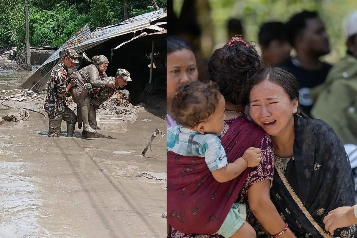
Traditional emergency journalism relies heavily on emotional triage, documenting human loss through individual accounts while ignoring the mechanical forces driving catastrophic regional events. When a high-altitude disaster strikes the Himalayan border, public discourse usually centers on the immediate tragedy of missing persons, destroyed settlements, and overwhelmed rescue operations. While these personal testimonies capture the human cost, they obscure the underlying physical and institutional failures that turn natural hazards into systemic catastrophes.
Evaluating events such as the catastrophic flash floods along the Nepal-Tibet border requires moving past anecdotal reporting to examine three distinct structural variables: high-altitude cryospheric destabilization, downstream hydraulic vulnerability, and institutional lag in transboundary early-warning architectures.
The Cryospheric Trigger Mechanics
High-mountain flash floods in regions like the Himalayas are rarely simple meteorological events driven solely by heavy monsoon rainfall. Instead, they are often complex geo-hydrological failures rooted in cryospheric mechanics. Rising global temperatures warm alpine permafrost at rates nearly double the global average, degrading the structural integrity of hanging glaciers and steep moraine walls.
When a high-altitude mass—such as a segment of a destabilized glacier or an ice-rock avalanche—collapses into a narrow valley, it converts immense gravitational potential energy into kinetic force. The resulting debris flow pulverizes ice and rock upon impact, incorporating accumulated meltwater and dead ice left behind by receding parent glaciers. This mixture transforms into a high-density, hyper-concentrated surge that behaves less like a standard river flood and more like a high-velocity debris tsunami.
The physical mechanics dictate a specific sequence:
- A high-altitude thermal anomaly or localized seismic trigger destabilizes marginal permafrost.
- An ice-rock mass detaches, dropping thousands of feet into confined drainage channels.
- The mass pulverizes, creating an artificial dam or a sudden volumetric surge that breaches existing river channels.
- Downstream hydraulic choke points amplify the wave height, resulting in catastrophic kinetic energy release upon lower-altitude settlements and infrastructure.
Hydraulic Bottlenecks and Secondary Hazard Propagation
The destructive capacity of a glacial outburst flood is determined not just by the initial volume of water and debris, but by the secondary hazards it creates along its path. As hyper-concentrated torrents race down steep Himalayan gorges, they scour valley floors, entraining thousands of tons of sediment, boulders, and organic debris.
When this material encounters lower-gradient sections or narrow structural pinch points—such as bridges, hydroelectric tunnels, and border trading posts—it forms temporary barrier lakes. These impoundments represent a severe secondary threat. The hydrostatic pressure behind unstable debris dams invariably exceeds material strength, leading to secondary breakout floods that catch rescue workers and evacuees off guard.
Infrastructure design in these corridors frequently relies on outdated hydrological baselines. Civil engineering standards established decades ago assumed stable thermal regimes and predictable seasonal discharge curves. In a warming climate, these historical baselines are obsolete. Hydropower projects and transport corridors situated in deep river valleys face a high probability of structural inundation because current design load functions fail to account for the velocity and mass of glacial lake outburst floods.
Institutional Lag in Transboundary Risk Governance
The spatial distribution of Himalayan watersheds creates a profound governance challenge: the genesis zones of major disasters often lie upstream in sovereign territories controlled by different administrative bodies than the heavily impacted downstream populations.
When a glacial collapse or barrier lake breach occurs across a remote international border, real-time data sharing becomes the primary determinant of survival. Traditional bureaucratic channels are too slow to manage hazards that travel down steep mountain gradients in minutes. At the community level, early-warning systems often lack direct telemetry integration with upstream meteorological and satellite monitoring networks.
The absence of a unified transboundary risk architecture means that downstream authorities rely on lagging indicators, such as sudden drops in upstream river gauges or visual confirmations, rather than automated predictive modeling. By the time an alert is verified and disseminated, the flood wave has already traversed the narrow intervening distance, rendering evacuation protocols ineffective.
Operational Realignment for High-Altitude Resilience
Mitigating future disasters of this magnitude requires a systematic pivot from reactive emergency recovery to predictive infrastructure adaptation. Disaster management budgets must transition from prioritizing post-crisis relief toward funding continuous cryospheric monitoring.
Deploying automated sensors at high-risk glacial lakes, establishing real-time transboundary data telemetry between neighboring nations, and updating engineering safety factors for all valley-floor infrastructure are non-negotiable operational requirements. Regional authorities must re-engineer civil protection frameworks to match the velocity of climate-driven hazards, ensuring that future warning systems outpace the physical speed of alpine disasters.